Whenua
Jul 5, 2015

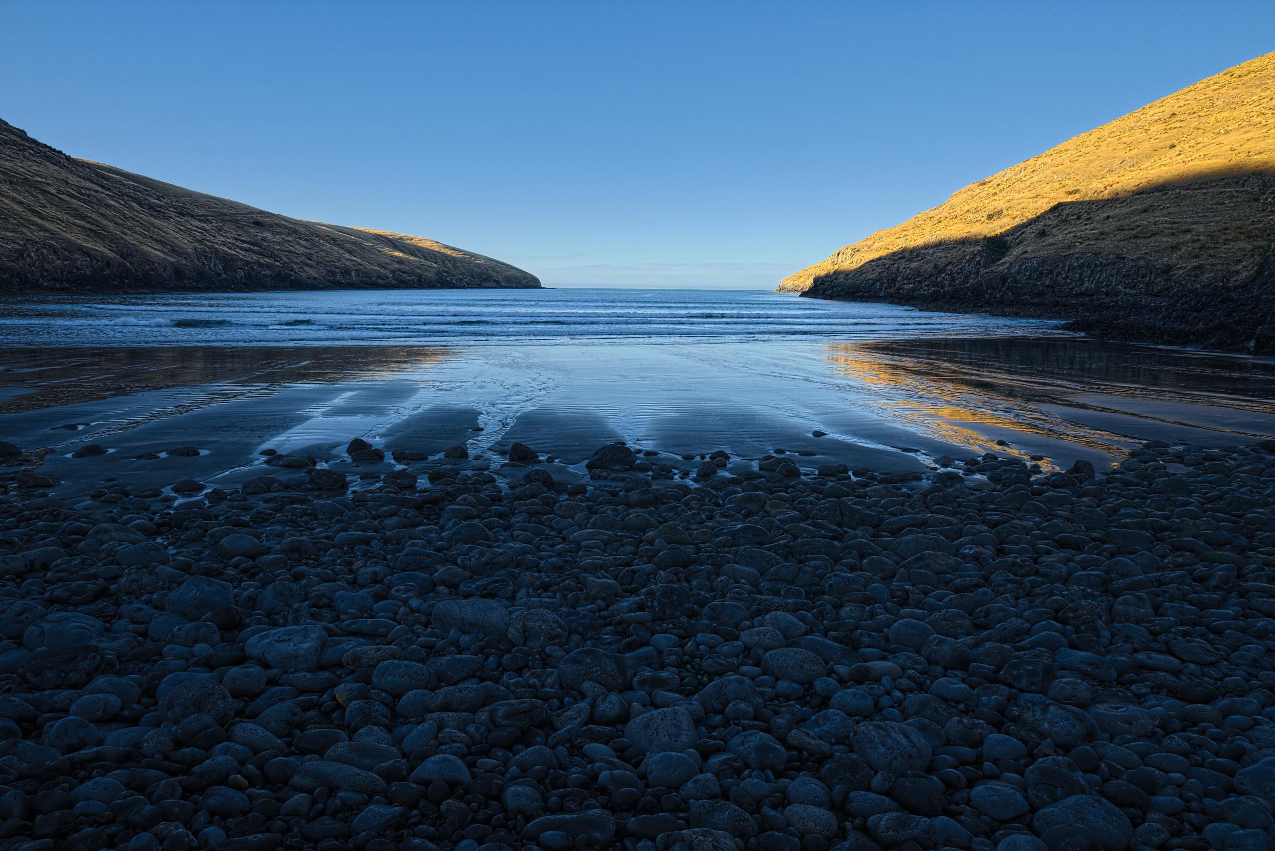
Pareāihe The extensive volcanic peninsula that juts out from the east coast of Te Waipounamu, southeast of Ōtautahi, has been referred to by successive generations of Māori as “Te Pātaka o Rākaihautū”, meaning “the great food store house of Rākaihautū”. This name was given as testament to the work of the tipuna, Rākaihautu, and in recognition of the abundance of food and resources found there. Pareāihe, commonly known as Te Oka, is one of the southern bays of Te Pātaka o Rākaihautū, and forms part of the coastline between the outlet of Lake Wairewa and the entrance to Akaroa harbour. The southern bays were all occupied by Ngāi Tahu whānui at various times. The area was also associated with some of the earliest interactions between Ngāi Tahu and Pākehā in the Canterbury region, when whaling stations were established at Pireka (Peraki), Hikuraki, Oihowa (also known as Ohahoa, Goashore, and Oashore) and Whangakai (Island Bay) in the 1830s. The name Te Oka refers to a peak above Pareāihe.
Photograph: Tony Bridge
Click the image to view.